THERE was a great deal of interest in River Canal Rescue's (RCR) WaterNav that was being demonstrated at Crick.
WaterNav is the country's only free mapping and route planning tool that works offline—giving peace of mind to thousands of boaters who have been reliant on an internet connection, via wifi or mobile data, to arrange and track journeys across the inland waterway network.
 Developed by RCR
Funded and developed by RCR, the breakdown company is committed to making the app completely free for its lifetime; there are no catches or gimmicks, sign up or hidden charges and its full functionality is open to everyone. All users need to do is create an account.
Other routing planning providers only function using the internet (problematic for boaters in areas where signal is traditionally an issue), so RCR’s dedicated programmers looked to NASA to develop an offline solution.
Lead software developer, Brandon Briggs, comments:
“NASA uses certain software and algorithms to direct and monitor its robots on internet-free Mars, so we thought why not develop a similar system for the UK inland waterway system. We adopted a route planning algorithm, which uses a dot matrix system, to reference all the canals and rivers in the UK, and we will not stop there.
“We are continually developing the app and taking onboard feedback from users, so don’t be surprised if we regularly ask users to update their version.”
New updates
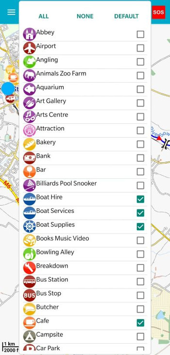
Launched last year, WaterNav’s new updates now enable users to plan and specify their journey length/time or preferred routes etc, taking into account locks, points of interest and canal/river information etc, and be directed to the nearest available mooring/marina at journey’s end.
All UK waterways, mapping and route planning are incorporated into a single app and there’s also a help/SOS function linked to RCR HQ, for boaters who require assistance. Plotting the user’s position within a 5m radius has proved invaluable in emergency situations or when cruising on rivers with no access.
WaterNav has around 10,000 users and the figure is growing because it’s simple to set up and use. Access via Google Play or the App Store, register as a user and download the maps. After this, the app can be used offline.
Flag-up problems
Moving forward, additional community features are being developed for online users with boaters being able to flag-up any problems or issues they come across, such as debris in the waterways, lock closures, busy hot spots or pubs that may have closed down etc, with RCR Managing Director, Stephanie Horton, telling:
“We’re planning to add some really exciting features to WaterNav over the coming year, to encourage new interest from the younger generation, help share some of the amazing features on our canals and rivers and build the community spirit our UK waterways are synonymous with. Funding this app means we are giving something back too, and helping reconnect the community.”